
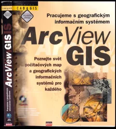

Integrated geospatial technologies
"Integrated Geospatial Technologies is an essential resource for every professional working with GIS today, as well as students studying these technologies in a variety of fields, including geography, land-use planning, ecology, biology, economics, public administration, natural resources, forestry, surveying, and archaeology."--BOOK JACKET.
Komentáře
Přihlas se, abys mohl/a přidat komentář.


Zatím žádné komentáře. Buď první!